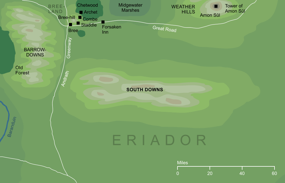
A range of hills running for a distance of some seventy-five miles west to east across Eriador. In the west, they came close to the Barrow-downs, and through Andrath, the narrow land that separated the two ranges, ran the North-South Road from the North-kingdom towards Gondor in the distant south.
The choice of the word 'South' to name these downs does not seem to be connected to their geographical location. During the time of Arnor, the downs had stood in the central parts of that land, and when Arnor broke into smaller kingdoms they were in the northern parts of Cardolan. The 'South' of their name most likely arose because they lay south of the Great Road through Eriador, or of the Tower of Amon Sûl on that road. Alternatively, it may simply have chosen because they lay far southward of the North Downs, on which the city of Fornost stood.
Tolkien's choice of the name 'South Downs' may concievably have been influenced by an actual range of hills with that name, running along the southern coast of England and having similar dimensions to the South Downs in Middle-earth.
Indexes:
About this entry:
- Updated 16 July 2015
- This entry is complete
For acknowledgements and references, see the Disclaimer & Bibliography page.
Original content © copyright Mark Fisher 1998, 2001, 2007, 2013, 2015. All rights reserved. For conditions of reuse, see the Site FAQ.